A Road That Bends: Reading the Route Instead of Trusting the Straight Line
Learn to read a bending road on a map by tracing terrain, crossings and connections, so its curves reveal how neighbouring places fit together.
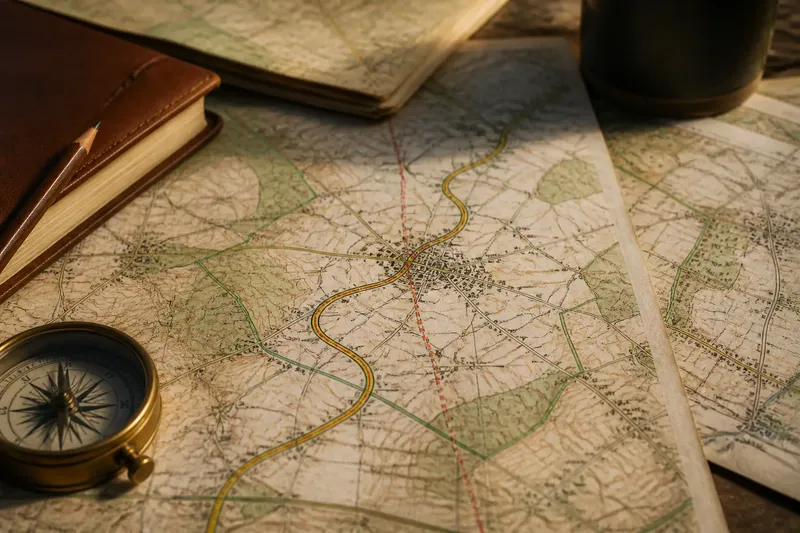
The common mistake when reading a bending road on a map is to call every curve a detour. That judgement costs useful context: the road may trace the edge of a parish, follow an old boundary, or mark where one place gives way to another. Read its bends as clues to regional identity, not merely as responses to the shape of the ground.
A bend can mark a change in local identity
Roads sometimes follow lines that distinguish neighbouring places: a parish boundary, the edge of common land, an estate limit or the divide between named districts. These lines may be less visible than a hill or stream, but they can still influence where a road runs and which community it serves.
A map may show a boundary alongside the road, or the road may cross it near a change in place names, road labels or settlement pattern. Such a coincidence is a clue, not a verdict. Boundaries shift, maps differ in detail, and a road can share a boundary by chance.
Think of a road as a seam on a coat: it can join two pieces while still marking where one ends and another begins. The analogy has limits, as roads move and boundaries are revised, but it is a useful reminder that connection and distinction can occupy the same line.
Place names add evidence, but not a complete explanation
Notice where a road’s name changes, where a settlement name appears, and whether nearby names refer to a parish, hamlet, common or historic district. A change in naming may point to local identity or administration, but it does not establish why the road bends.
Compare names with mapped boundary lines and with the road’s connections. If the road changes name at a boundary and continues into a different named area, the map supports an association between route and place. If the names change elsewhere, or the boundary does not follow the road, treat the connection as uncertain.
Historic maps can help explain a pattern, but compare them cautiously. A road may have been realigned, a settlement may have expanded, or a boundary may have changed since the older map was made. The map date and its purpose matter as much as the line itself.
Check what the map actually supports
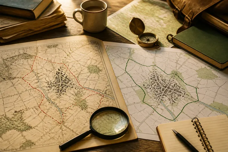
Use a current road map alongside a boundary map, such as an official parish or local-authority layer where available. A topographic map can add physical context, while an older map may help identify former names or alignments. Each source answers a different question; none should be asked to do all the work.
- Boundary alignment: If the boundary follows the road for a stretch, compare it with another boundary source; if the alignment appears on both, describe the shared line, but if it appears on only one, qualify the claim.
- Place-name change: If a name changes near the bend, check a second map or local gazetteer; if the change is consistent, note the transition, but if not, avoid treating it as a boundary marker.
- Road-name change: If the road label changes at a junction or boundary, check whether the route itself continues; if it does, distinguish a naming change from a physical break, but if it does not, describe the separate links.
- Map date: If an older map shows a different line or name, compare its date with the current map; if the difference is clear, describe it as a change over time, but if dates or details are missing, leave the history open.
- Scale and detail: If a bend or boundary is indistinct at the map’s scale, consult a more detailed source; if the feature remains unclear, do not assign it a precise location or cause.
- Independent context: If a local history or official record supports the proposed connection, cite that kind of evidence in your own account; if it does not, present the map reading as a possibility rather than a fact.
Work through a map reading without turning clues into claims
Say you have an invented map situation: a road bends beside a line labelled as a parish boundary, and the road’s name changes near a small settlement. First, record only what is visible: the bend, the labelled line, the settlement name and the point where the road label changes. Next, compare the boundary with a second map; imagine it follows the road only on the first map. Then check a current local gazetteer, which in this invented situation confirms the settlement name but gives no account of the road. The sound result is that the road bends beside a boundary on one map and passes a named settlement; the evidence does not establish that the boundary caused the bend or that the road’s name records an older route. That is a narrower answer, but a more defensible one.
Which questions help distinguish a pattern from a coincidence?
Does the boundary follow the road beyond the bend?
If the line continues alongside the road, the map shows a sustained association rather than a single crossing. Check another boundary source before suggesting that the road and boundary share a lasting alignment.
Do place names change at the same point?
A name change near a boundary can help identify a transition between neighbouring areas. If the change occurs elsewhere, record the mismatch rather than forcing the two clues into one explanation.
Do older maps show the same relationship?
Compare maps with clear dates and similar coverage, noting changes in road alignment, names and boundaries. If the relationship appears only on one map, its purpose or later alteration may explain the difference, but the map alone may not settle which.
Can a local record support the interpretation?
Official boundary records, local histories and place-name references may clarify what a map leaves uncertain. If no suitable record is available, keep the interpretation tentative rather than treating a visual resemblance as proof.
Describe the relationship without claiming to know its cause
Keep observation separate from explanation. “The road follows the parish boundary beside the settlement” describes a mapped relationship. “The road was built to mark the parish boundary” assigns a cause that requires evidence beyond the line itself.
For a careful account of a bending road on a map, name the visible features, say which sources agree, and identify what remains uncertain. That approach can show how neighbouring places meet, share names or retain distinct identities without pretending that a bend explains its own history.
A final useful check is to trace the road across the map edge. If the boundary or place-name pattern continues, the relationship may belong to a wider local network; if it stops, the map may simply be showing a local coincidence. Either way, the edge of the page is a limit on the evidence, not an invitation to invent the rest.